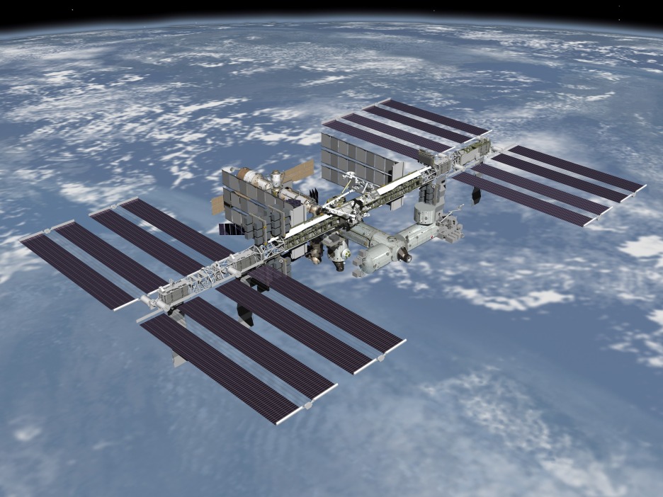
ISS: Cloud Computing from Above the Clouds
 After more than a decade of construction, and with another decade of life apparently secure, the International Space Station is entering a new era which is seeing an increasingly wider array of interests make use of its capabilities. For instance, last week saw the deployment of the first fleet of “Dove” Earth Observation cubesats built by Planet Labs. Occupying the same 51.6 degree inclined orbit, ISS makes an outstanding platform for Earth Observation in its own right. CASIS, the Center for the Advancement of Science in Space, which operates the U.S. National Laboratory aboard ISS, is seeking to expand the station’s commercial capability both in space and on the ground. It issued the following press release on February 20th. CASIS Press Release CASIS Reaches Agreement with HySpeed Computing and Exelis for Hyperspectral Image Analysis Using Cloud Computing FOR IMMEDIATE RELEASE KENNEDY SPACE CENTER, FL. (February 20th, 2014) The Center for the Advancement of Science in Space (CASIS) today announced an agreement with HySpeed Computing and Exelis for a project demonstrating cloud computing capabilities for image processing and remote sensing applications on the International Space Station (ISS). CASIS was selected by NASA in July 2011 to maximize use of the ISS U.S. National Laboratory. HySpeed Computing and Exelis plan to develop a prototype online, on-demand image processing system using example data from the Hyperspectral Imager for the Coastal Ocean (HICO). The system will leverage the recently released ENVI Services Engine, and include a web-interface for users to access a collection of image processing applications derived from the HICO user community. HICO is a hyperspectral instrument specializing in visible and near-infrared camera technology, designed specifically for imaging the coastal zone and ocean waters. HICO is part of the first U.S. experiment payload on the Japanese Experiment Module – Exposed Facility (JEM-EF) on the International Space Station (ISS), and has acquired thousands of images from around the globe since its launch in 2009. “We are excited to be supported by CASIS,” said HySpeed Computing President James Goodman. “We believe this project will demonstrate an effective pathway for inspiring innovation and facilitating technology transfer in the geospatial marketplace.” “This partnership with HySpeed Computing and Exelis is another example of leveraging existing assets onboard the ISS for terrestrial benefit,” said CASIS Director of Operations, Ken Shields. “During its existence, HICO has proven to be a dynamic camera capable of delivering the unique vantage point of the ISS to better understand our oceans and shorelines.” For information about CASIS opportunities, including instructions on submitting research ideas, please visit: www.iss-casis.org/solicitations Additionally, CASIS currently has a solicitation in remote sensing open to the research community. Letters of intent are required to move forward in the proposal process. Letters of intent are due tomorrow, February 21, 2014. To learn more visit: http://www.iss-casis.org/Opportunities/Solicitations/RFPRemoteSensing.aspx – See more at: http://www.iss-casis.org/NewsEvents/PressReleases/tabid/111/ArticleID/112/ArtMID/586/CASIS-Reaches-Agreement-with-HySpeed-Computing-and-Exelis-for-Hyperspectral-Image-Analysis-Using-Cloud-Computing.aspx#sthash.LnpFAPhx.dpuf

